The Gallatin Valley is host to some of the most beautiful hikes that you can find. While some of the descents can be a little daunting, there are plenty of trails around the area that are great for any skill levels. Regardless of your hiking expertise, there should be something that fits your hiking style. Here are just a few of our favorites around the area (ordered easiest to most difficult)

South Cottonwood Creek
- Distance: 5 miles
- Elevation: 524 feet
- Difficulty: 2/10
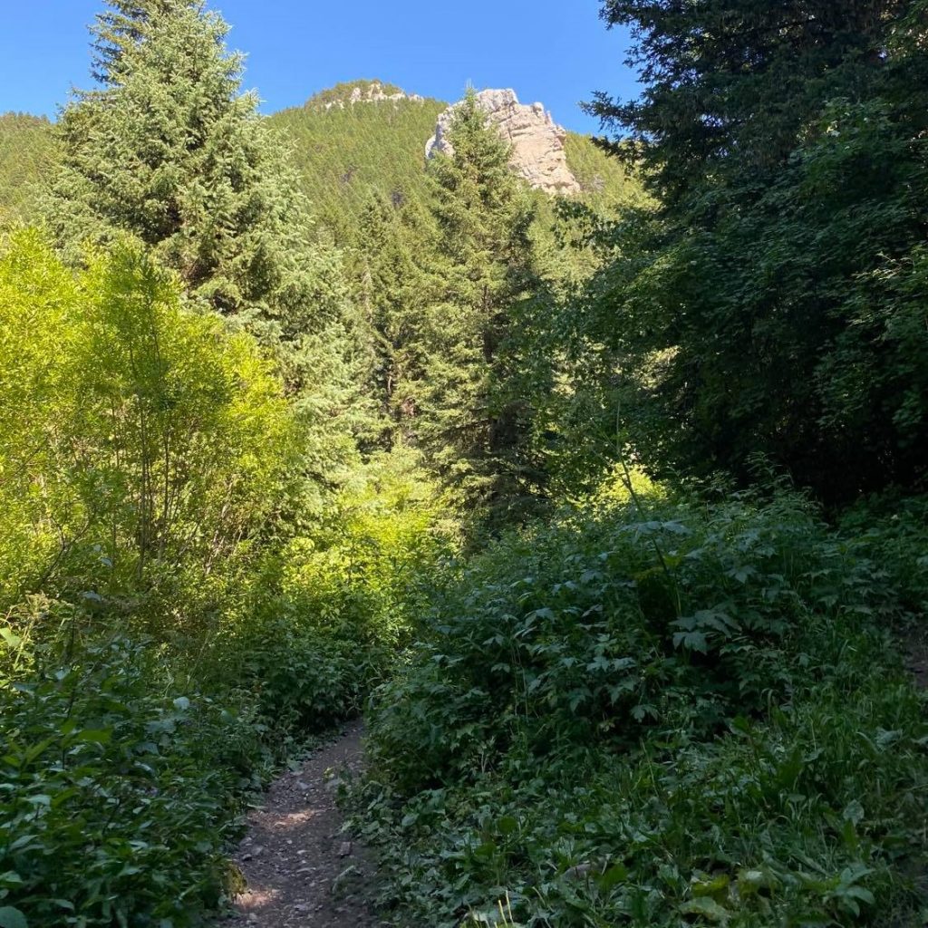
One of the easiest hikes in the area, South Cottonwood Creek is suitable for any skill levels. While there’s a somewhat large hill at the beginning, it’s all a constant, low-grade climb. With beautiful forestry and multiple creek crossings, it’s a great way to experience Montana without getting too exhausted.
PLEASE NOTE: the usual turnaround spot is after the third bridge. If you wanted to keep trekking past that point, there is a much steeper elevation gain and an additional 3 miles to a beautiful, scenic meadow. It takes an easy hike and turns it into a more moderate difficulty.

Beehive Basin
- Distance: 7.1 miles
- Elevation: 1650 feet
- Difficulty: 5/10
Even though it’s a smidge of a drive (since it’s up in Big Sky) Beehive Basin is one of the prettiest hikes around the area. Expect to traverse a couple of rocky surfaces, see a wide array of beautiful wildflowers, and potentially see some wildlife, so it’s quite the adventure. Then if you’re feeling particularly adventurous, once you reach the basin, there’s another hill to climb that leads to a beautiful rock quarry and a collection of smaller lakes. We do recommend slathering on some sunscreen, as there isn’t a ton of tree cover.

Middle Cottonwood Creek
- Distance: 7.3 miles
- Elevation: 1,663 feet
- Difficulty: 6/10
The Middle Cottonwood Creek trail takes you through a densely wooded area with a few different streams. Then, suddenly the entire area opens up into a beautiful meadow with wild flowers and a few long, steep switchbacks. Once you’ve reached the top of the switchback areas, the view goes on for seemingly forever, which gives you the perfect point to turn around. However, if you want to keep going, this trail connects to a few different trails in the area, which can turn a fun afternoon hike into a full-day adventure.

Lava Lake
- Distance: 6.0 miles
- Elevation: 1,620 feet
- Difficulty: 6/10
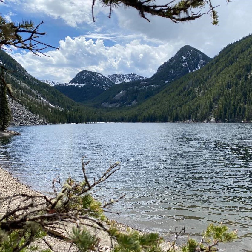
Probably the most popular hike in the Bozeman area, Lava like is a moderately difficult, mostly uphill journey through a winding wooded forest. While the hike itself can be a bit strenuous for some, the payoff once you get to the lake is pretty much unbeatable. With amazing views of the mountains, a beautiful rock quarry, and even an island you can float out to if you brought the proper equipment, it makes sense why this is one of the most heavily-trafficked hikes in Bozeman.

Storm Castle
- Distance: 5.2 miles
- Elevation: 1,860 feet
- Difficulty: 7/10
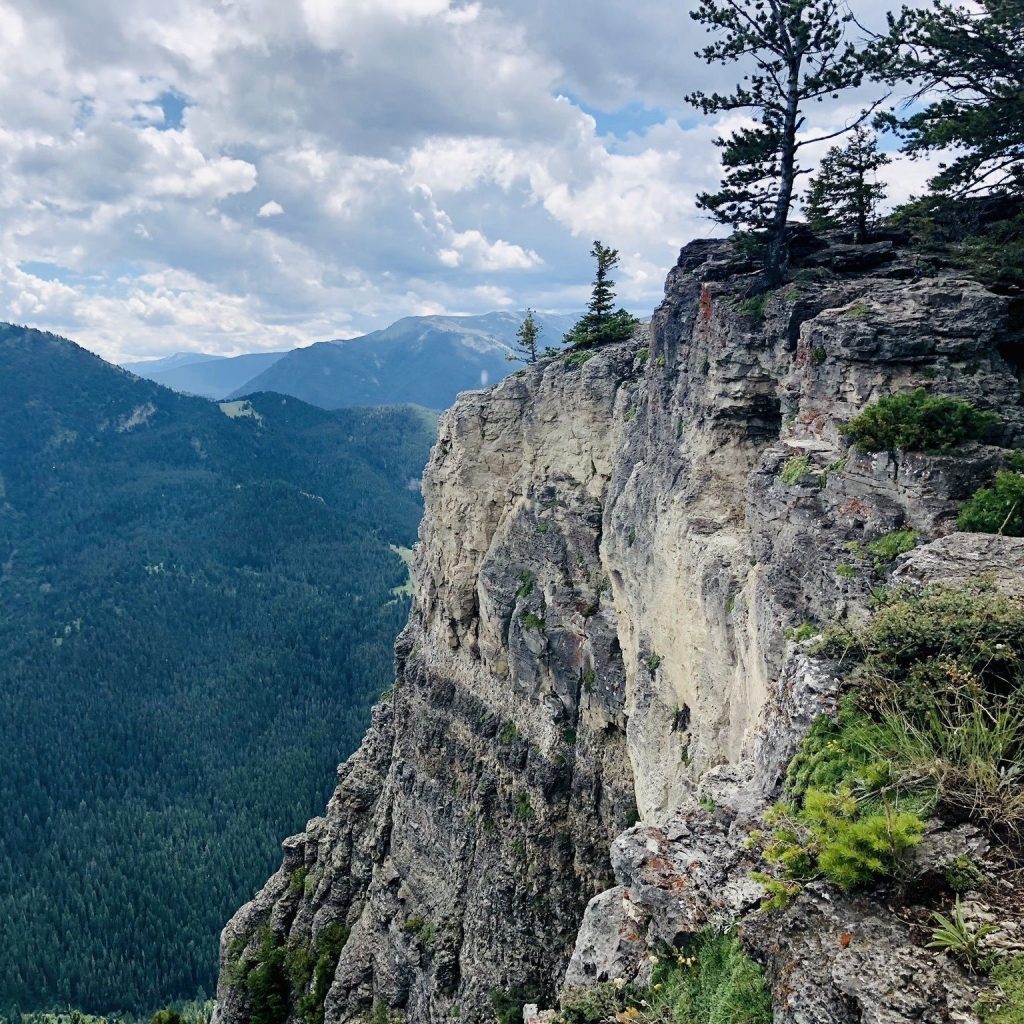
While Storm Castle is one of the shortest hikes on our list, it’s easily one of the hardest with it’s daunting elevation gain. Definitely not for the out of shape or faint of heart, Storm Castle is one of the most rapidly elevating hikes around the area. But once you get to the top, the views are completely stunning. There’s also a rock fixture towards the top that is perfect for pictures to post on social media. For real, look up the location on Instagram. You’ll see what we’re talking about.

Sphinx Mountain Trail
- Distance: 10.7 miles
- Elevation: 3,940 feet
- Difficulty: 10/10
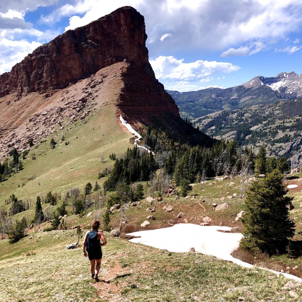
This is pretty much as difficult as Gallatin Valley hiking gets. After a bit of a drive out to Ennis, prepare for an extremely strenuous, challenging venture through this trail. You’ll have steep inclines, some slight rock climbing, and probably some snow (regardless of the time of year). It will completely kick your butt, but once you get to the summit, you’ll feel an incredible sense of accomplishment, and get a view unlike anything you’ve ever seen. Also, bring bear spray, as there have been many grizzly bear sightings in the area.
